


Most Voted Plugins
List of approved plugins sorted by the number of votes.
2288 records found
Simulation environment to run hydrological/hydrogeological and water management models.
Nov 14, 2019
(48)
Convert DEM XML files, provided by Geospatial Information Authority of Japan(GSI) to DEM GeoTiff and/or Terrain RGB format GeoTiff.
Aug 29, 2024
(48)
Converts points to lines with verticies grouped by a text or integer field and ordered by an integer or date …
Experimental
Mar 22, 2015
(48)
Create profiles from DEMs using vector geometries or a digitized line.
Jan 7, 2019
(48)
Open Tools for LiDAR Data Preparation and Analysis in Archaeology
Aug 23, 2024
(48)
A Processing provider for connecting to the R statistics framework
Jan 15, 2024
(48)
This plugin constructs parallel lines based on a given base line
Experimental
May 23, 2018
(47)
Floodrisk is an Open Source software to combine the main features of state-of-the-art science, collaboration, transparency and interoperability in an …
Oct 30, 2020
(47)
This plugin automates the creation of density heatmaps in QGIS with a heatmap explorer to examine the areas of greatest …
Aug 28, 2024
(47)
Saves multiple layers in different formats in a batch mode.
Nov 23, 2018
(46)
Provides search / gazetteer functionality in QGIS using PostGIS, MSSQL and Geopackage databases
Dec 2, 2024
(46)
This plugin allows to download Copernicus Global Land products (Land Cover, NDVI, FAPAR, ...). Requires Pandas library.
Experimental
Nov 4, 2022
(46)
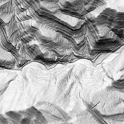
Plugin to generate a three light exposure hillshade (shaded relief by combining three light exposures)
Oct 10, 2023
(46)
Items per page:
Deprecated plugins are printed in red.


